
Object Tracking - Pro 3.3
Object Tracking - Pro 3.3 from Drone Imagery
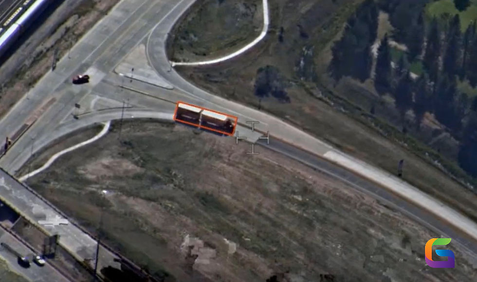
Automated object tracking in motion imagery allows reducing the amount of time and effort spent on the process of object digitization and tracking in it. Traditionally, tracking involves frame-by-frame identification of the object followed by the manual updating of its location within video frames. Such an approach makes the tracking process laborious and hard to scale. An automated object tracking model can help accelerate the process of motion imagery analysis and make it more efficient.
The model is developed specifically for use with the Motion Imagery Toolset that is part of the Image Analyst extension in ArcGIS Pro. Thus, the integration of automated tracking functionality into the current motion imagery workflow allows to perform tracking of objects effectively and efficiently, minimizing the number of repetitive operations.
It can be useful in a variety of applications such as automated object following, analysis, monitoring, and surveillance of static or slowly-moving targets. The use of the model will allow maintaining the location of the target in the course of motion imagery.
The model's performance might be affected by the quality of the provided videos and the conditions in which it is filmed. The model might demonstrate decreased accuracy of operation in case of abrupt camera movement, drastic changes in scale of the target, and visual changes in the scene. In order to maximize performance, stable motion imagery with well-visible targets is recommended.
In general, the proposed object tracking model is an efficient solution for analyzing motion imagery in ArcGIS Pro.