top of page
GeoWGS84AI_Logo_edited.jpg
  • Page 1

GIS Glossary

Looking to master GIS? This comprehensive GIS glossary covers essential GIS terms and definitions, perfect for both beginners and professionals. Explore the most important geospatial terminology, from spatial data terms and mapping terminology to advanced topological concepts in GIS. Whether you're diving into remote sensing, LiDAR, cartography, or GeoAI, our geospatial dictionary and GIS vocabulary reference help you understand the language of geographic information systems. Discover commonly used GIS acronyms and meanings, get a quick geo terms cheat sheet, and unlock the full GeoTech lexicon used in urban planning, environmental analysis, and earth observation. Stay ahead in the field with this up-to-date GIS glossary 2025, your go-to guide to GIS lingo explained for smart data analysis and decision-making.

ASCII

ASCII

Start Now

American Standard Code for Information Interchange (ASCII) : A file format for storing and exchanging spatial and attribute data in plain text.

Abscissa

Abscissa

Start Now

The x-coordinate in a rectangular coordinate system, critical for defining spatial positions.

Absolute Accuracy

Absolute Accuracy

Start Now

The degree to which a measured or calculated position matches its true value, important for spatial data reliability.

Absolute Coordinates

Absolute Coordinates

Start Now

Coordinates that specify a location in a fixed, global reference system, such as latitude and longitude.

Absolute Relief

Absolute Relief

Start Now

The difference in elevation between the highest and lowest points in an area, relevant for terrain analysis

Accuracy

Accuracy

Start Now

The closeness of a measurement or spatial data value to its true value, crucial for all spatial analysis (inferred from standard GIS usage).

Accuracy Assessment

Accuracy Assessment

Start Now

The process of evaluating the correctness of spatial data, especially in classification and remote sensing (inferred from standard GIS usage).

Active Remote Sensing

Active Remote Sensing

Start Now

The use of sensors that emit energy and measure its reflection from the earth’s surface, important for spatial data collection.

Aerial Photography

Aerial Photography

Start Now

Images of the earth taken from aircraft, used as a source of spatial data for analysis and mapping (inferred from standard GIS usage).

Aggregation

Aggregation

Start Now

The process of combining multiple features or data values into a summary form, often used in spatial statistics (inferred from standard GIS usage).

Analysis (Spatial Analysis)

Analysis (Spatial Analysis)

Start Now

The process of examining spatial data to discover patterns, relationships, or trends, central to GIS applications.

Annotation

Annotation

Start Now

Text or graphics added to maps to provide additional information about spatial features (inferred from standard GIS usage).

Arc

Arc

Start Now

A line segment defined by its endpoints (nodes), fundamental in vector data models for representing linear features.

Arc Macro Language (AML)

Arc Macro Language (AML)

Start Now

A scripting language used for automating GIS tasks, particularly in ESRI software

ArcGIS

ArcGIS

Start Now

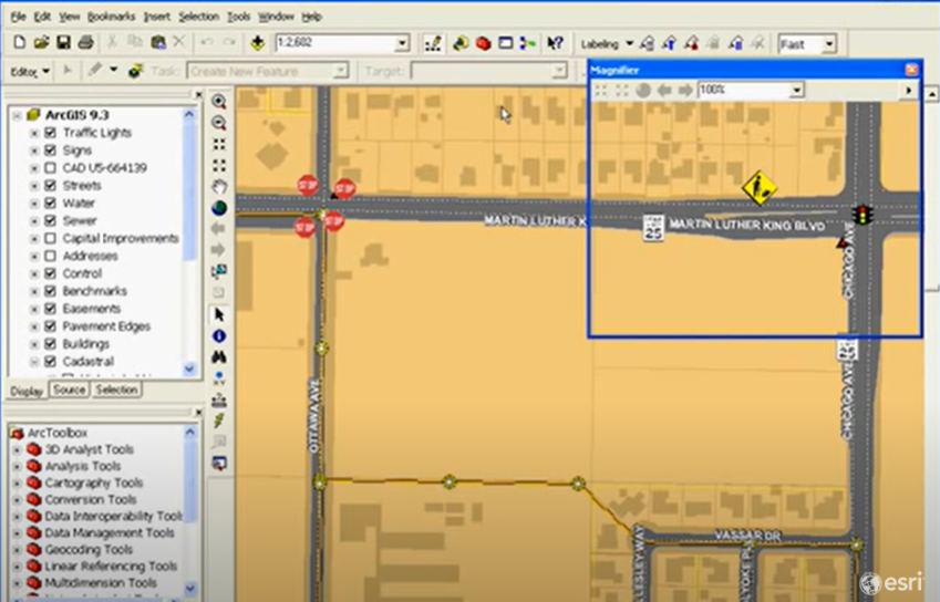
A widely used GIS software suite by Esri for spatial data management, analysis, and visualization (inferred from standard GIS usage).

Area

Area

Start Now

The size or extent of a polygon feature, a basic spatial measurement used in many analyses.

Aspect

Aspect

Start Now

The compass direction that a slope faces, measured in degrees; important for terrain and environmental analysis.

Asset Mapping

Asset Mapping

Start Now

The process of mapping the locations and characteristics of physical assets, supporting spatial inventory and management.

Attribute

Attribute

Start Now

A characteristic or property of a spatial feature, such as population or land use, stored in a table linked to spatial data.

Azimuthal Projection

Azimuthal Projection

Start Now

A map projection that transforms points from a sphere onto a plane, used for certain spatial analyses and visualizations.

bottom of page