ArcGIS
A widely used GIS software suite by Esri for spatial data management, analysis, and visualization (inferred from standard GIS usage).
What is ArcGIS?
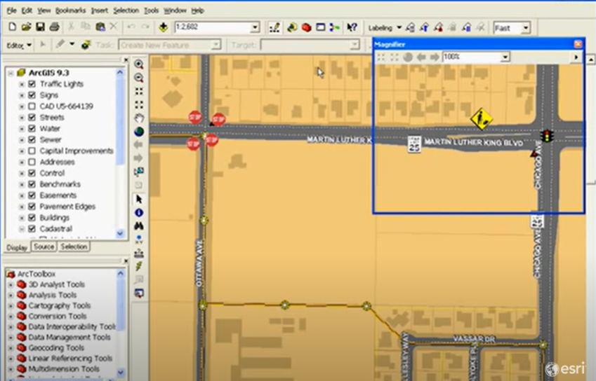
ArcGIS is a comprehensive Geographic Information System (GIS) developed by Esri (Environmental Systems Research Institute). It is used to create, manage, analyse, and visualize spatial data and maps. ArcGIS allows users to work with geographic information through a suite of tools and applications designed for desktop, web, and mobile platforms.
With ArcGIS, users can:
Create interactive maps and dashboards
Perform spatial analysis and geoprocessing
Manage and edit geographic datasets
Analyse patterns, trends, and relationships in space
Share maps and data through cloud-based platforms
ArcGIS is widely used in fields such as urban planning, environmental science, transportation, public health, and emergency management. It supports a range of formats and includes tools for 2D and 3D mapping, geocoding, spatial modelling, and more. Popular components include ArcGIS Pro, ArcMap, ArcGIS Online, and ArcGIS Enterprise.
Related Keywords
A powerful platform for producing, evaluating, and disseminating interactive maps and spatial data is provided by ArcGIS Online. Without requiring desktop GIS software, it allows users to visualize geographic patterns, do spatial analysis, and work together on projects via an easy-to-use web-based interface.
Beginner's guides to ArcGIS Pro offer detailed instructions on how to get started with this robust GIS program. They go over fundamental abilities like making and maintaining maps, handling geographical data, carrying out simple studies, and displaying geographic data. For beginners who wish to quickly gain a solid foundation in GIS ideas and begin using them in practical applications, these tutorials are perfect.
Large enterprises can benefit greatly from ArcGIS, a commercial GIS with sophisticated capabilities, expert support, and smooth enterprise integration. A free, open-source substitute, QGIS provides community-driven plugins, flexibility, and customization for a range of GIS needs.
ArcGIS is a robust GIS tool that enables users to visualize, query, and understand geographic data for spatial analysis. You may find patterns and relationships in spatial datasets and carry out operations like surface modelling, overlay analysis, and proximity computations. When paired with map visualization, its raster and vector analysis tools aid in decision-making related to resource distribution, environmental management, and urban planning.