Human Geography GIS
The application of GIS technology to study and analyse spatial patterns and processes in human geography, such as population distribution or urbanization.
Explain Human Geography GIS?
Human Geography The term "GIS" refers to the analysis and visualization of spatial data about human activities, societies, and cultural phenomena using Geographic Information Systems (GIS). It uses GIS technology to investigate how people interact with their surroundings, the distribution of human patterns, and the spatial variations of social, economic, and cultural processes.
The following are some important uses for Human Geography GIS:
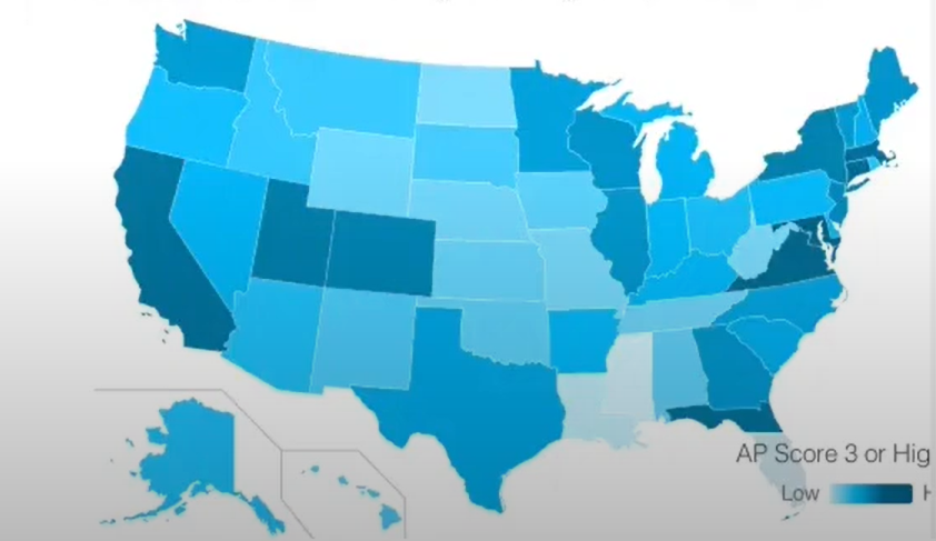
Charting migratory patterns and population density
Examining changes in land use and urban growth
Researching the dispersion of languages and cultural landscapes
Examining networks of infrastructure and trends in economic activity
Assisting with the formulation of policies in fields such as public health, education, and transportation
Human Geography GIS offers strong tools to comprehend intricate human-environment relationships and to plan for sustainable development by fusing spatial analysis with social science data.
For more information or any questions regarding our services, please don't hesitate to contact us at
Email: info@geowgs84.com
USA (HQ): (720) 702–4849
India: 9009471866 - Jay Sharma
Canada: (519) 590 9999
Mexico: 55 5941 3755
UK & Spain: +44 12358 56710
Examining geographic patterns, correlations, and trends in spatial data in order to derive significant insights is known as spatial analysis. It uses methods like proximity analysis, overlay, mapping, and spatial statistics to comprehend how distance, location, and spatial organization affect phenomena. This facilitates decision-making in a variety of domains, including public health, environmental management, and urban planning.
The act of gathering, storing, evaluating, and displaying geographic data in order to comprehend spatial relationships and patterns is known as GIS mapping. It allows users to make well-informed decisions in areas such as crisis management, transportation, environmental monitoring, and urban planning by fusing data and maps.
The study of human geography focuses on how individuals move across space and interact with their surroundings. It highlights the connections between human civilizations and the environments they live in by looking at trends in population, culture, urbanization, migration, and economic activity. Understanding the social, cultural, and economic forces influencing the world is made easier by this field.
Spatial and geographic data can be captured, stored, analysed, and visualized with the help of Geographic Information Systems (GIS). In a variety of domains, including urban planning, environmental management, transportation, and disaster response, they aid in the comprehension of patterns, correlations, and trends. GIS facilitates effective resource management and well-informed decision-making by fusing data and maps.