Label Placement
The process of determining optimal locations for labels on a map to maximize readability and minimize overlap.
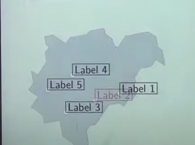
What does Label Placement mean?
Important considerations for label placement include
Feature type (polygon, line, or point).
Label stacking and priority
Preventing clashes with other labels or symbols
Angle and orientation for readability (such as navigating a road or river's curve)
Although automatic label placement techniques are frequently used in GIS applications, cartographic clarity can be adjusted manually. The usability and aesthetic appeal of a map are enhanced by well-placed labels.
Related Keywords
Guidelines for label placement By arranging the text to prevent overlap with features or other labels, you can guarantee the readability and clarity of the map. Labels should emphasize relevant information, have readable fonts and sizes, be aligned consistently, and be near their connected features. To ensure intuitive interpretation, keep spacing appropriate, steer clear of clutter, and make sure orientation adheres to the map's pattern.
In GIS and mapping, a label placement algorithm automatically places text labels on maps to make objects like towns, rivers, or landmarks easily identifiable. Avoiding overlaps with other labels, map symbols, or features while maximizing legibility is its aim. In order to produce clear, readable maps quickly, common strategies include rule-based procedures, optimization strategies, and force-directed algorithms that take into account variables like label size, map scale, and feature relevance.
Specialized GIS or cartography software features known as "map label placement tools" assist in automatically placing text labels for elements such as highways, rivers, and cities on maps. These technologies, which frequently use algorithms that take feature density, orientation, and relevance into account, optimize label placement to prevent overlap, enhance readability, and preserve map aesthetics. They guarantee consistent, expert-quality maps and save time when compared to manual labelling.
In GIS and mapping systems, automatic label placement is a cartographic approach that places labels—like city, river, or landmark names—on a map automatically. It guarantees that labels are positioned precisely, avoiding overlap with other text or significant features, preserving the accuracy and legibility of the map.