Measurement
The process of quantifying spatial properties such as distance, area, or volume, foundational for spatial analysis (inferred from standard GIS usage).
How do we define Measurement?
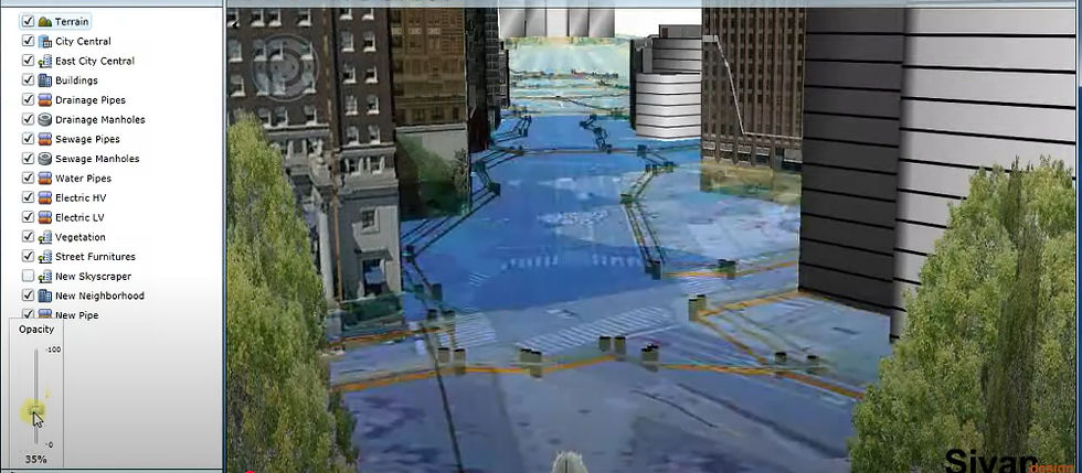
In geography and GIS, measurement is the process of putting a number on spatial characteristics or events. It entails utilizing particular instruments, units, and techniques to calculate an object's or space's distance, area, angle, elevation, or volume.
Measurements may include:
Linear (such as the separation between two places),
Areal (such as a plot of land's size),
Angular (such as orientation or direction),
Vertical, such as depth or elevation.
For precise mapping, geographical analysis, and decision-making in domains such as engineering, urban planning, and environmental monitoring, these measures are essential.
Related Keywords
Measurement tools are devices that are used to accurately determine quantities like weight, length, temperature, time, or volume. Scales, thermometers, stopwatches, measuring tapes, and rulers are typical examples. They support accuracy, consistency, and dependability in a variety of domains, including daily life activities, science, engineering, and construction.
Physical attributes like length, weight, time, temperature, and volume are expressed and compared using units of measurement, which are standardized quantities. They guarantee precision and consistency in calculations and communication by offering a single language for research, technology, and everyday life. Meters for length, kg for bulk, and seconds for time are a few examples.
Measurement techniques are methodical approaches to gathering precise and trustworthy information about a phenomenon, process, or object. Depending on the field, they can range from simple measurements like temperature, weight, and length to more complex methods like digital sensors, remote sensing, and GIS-based mapping. For scientific, technical, or research purposes, selecting the appropriate technique guarantees accuracy, consistency, and insightful analysis.
Assessing how closely observed or projected values match actual or true values is known as measuring accuracy. Accuracy is evaluated in data analysis, GIS, and surveying through the use of statistical markers including Root Mean Square Error (RMSE), error matrices, and ground truthing. Reliability, better decision-making, and better results are guaranteed by high accuracy.