Panchromatic Image
A single-band image capturing a wide range of wavelengths, often used in remote sensing for its high spatial resolution.
What is the definition of a Panchromatic Image?
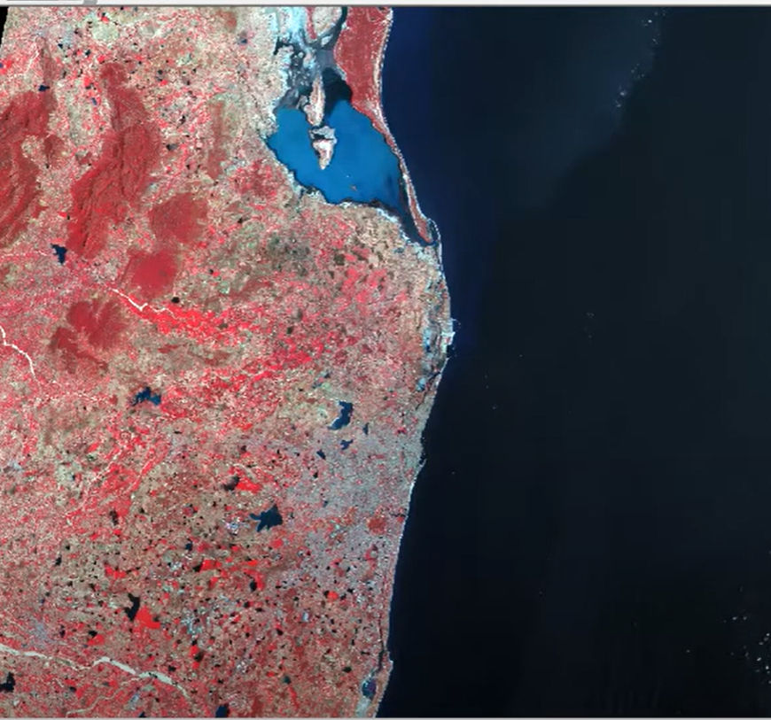
A black-and-white (grayscale) satellite or aerial snapshot that records a broad range of visible spectrum wavelengths, frequently including near-infrared, is called a panchromatic image. A panchromatic image records all of the light intensity in a single band, as opposed to multispectral photos, which record distinct bands of colour information.
Compared to individual multispectral bands, panchromatic imagery usually offers better detail and higher spatial resolution since it integrates light from numerous wavelengths. Because of this, panchromatic images are particularly useful for enhancing the sharpness of remote sensing data and identifying minute features. They are frequently employed to improve the resolution of colour photographs in applications such as mapping, land use analysis, and pan sharpening.
Related Keywords
High-resolution black-and-white images are produced via panchromatic satellite imagery, which gathers data in a single broad region of the electromagnetic spectrum. Panchromatic photos concentrate on spatial detail, in contrast to multispectral photography, which captures numerous spectral bands. This makes them perfect for applications such as infrastructure monitoring, urban mapping, and image sharpening (also known as pan-sharpening) when paired with multispectral data.
By capturing information from a wide range of the visible spectrum in a single band, high-resolution panchromatic pictures produce detailed black-and-white imagery. They are used extensively in precision agriculture, defense, urban mapping, and infrastructure monitoring because they have a finer spatial resolution than multispectral images and offer crisp, distinct details that are perfect for feature extraction and precise analysis.
While multispectral photography records various wavelength bands and is helpful for examining plant, land, and water, panchromatic imagery offers high-resolution black-and-white images.
High-resolution grayscale photos are used in GIS panchromatic image processing to improve spatial detail. It enhances clarity for environmental study, urban planning, and mapping when paired with multispectral data.