Quality Assurance (QA) / Quality Control (QC)
Processes and procedures to ensure the accuracy, consistency, and reliability of spatial data and analysis results.
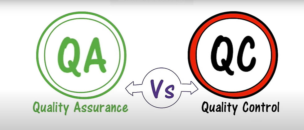%20_%20Quality%20Control%20(QC)_edited.jpg)
Define Quality Assurance (QA) / Quality Control (QC)
In GIS and data management, quality assurance (QA) and quality control (QC) are methodical procedures that guarantee the precision, consistency, and dependability of spatial data and geospatial outputs.
The proactive and preventive procedures implemented both before and during data generation to guarantee that quality standards are fulfilled are referred to as quality assurance (QA). It emphasizes workflows and procedures to prevent mistakes.
Crucial Elements:
Creating guidelines and procedures for gathering and processing data
Establishing best practices and educating staff
Making sure that tools, software, and techniques are used correctly
Tracking developments to avoid problems
QC entails assessing the final product or data to find and fix any mistakes or discrepancies. The goal of this reactive process is to identify and address problems.
Crucial Elements:
Assessing accuracy by comparing with ground truth data, for example
Verifying for spatial misalignments, duplicate data, or missing values
Executing scripts or validation tools
Performing audits or peer reviews
QA and QC are essential parts of managing geographical data. QC makes sure the finished product satisfies quality standards by locating and fixing problems, whereas QA concentrates on preventing errors through sound process design. Both are necessary to generate trustworthy and dependable GIS data.
Related Keywords
To guarantee that products fulfill specified criteria, quality assurance (QA) and control (QC) are essential in production. QA focuses on incorporating quality into processes through good planning, system checks, and preventive measures, while QC entails inspecting, testing, and validating the final output to find and correct errors. When combined, they increase productivity, lower mistakes, and guarantee client happiness.
While QC (Quality Control) confirms quality through testing and inspections, QA (Quality Assurance) guarantees quality through process control. Consistency and client trust are preserved through adherence to standards such as ISO 9001, frequent audits, and continual improvement.
The processes of quality assurance (QA) and quality control (QC) guarantee that goods and services fulfill established requirements and client expectations. By using methodical processes and best practices across the production or project lifecycle, quality assurance aims to prevent failures. Contrarily, QC entails examining, testing, and confirming outputs in order to find and fix flaws. When combined, QA and QC contribute to overall quality improvement, efficiency gains, and consistency maintenance.
By streamlining procedures and making sure standards are adhered to during manufacturing, quality assurance, or QA, aims to prevent defects. In contrast, Quality Control (QC) uses testing and inspection to find flaws in the finished goods. To put it briefly, QC is product-oriented, whereas QA is process-oriented.