Satellite Imagery
Images of the Earth’s surface collected by satellites, widely used for land cover classification, change detection, and environmental monitoring.
Explain Satellite Imagery
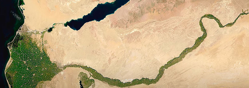
Photographs or photos of the Earth (or other planets) taken by sensors installed on satellites circling the planet are referred to as satellite imagery. Numerous disciplines, such as geography, environmental science, agriculture, urban planning, disaster management, and defence, employ these images.
Important Features of Satellite Imagery:
Hyperspectral and Multispectral Information: Data from satellite sensors is collected at different electromagnetic spectrum wavelengths (visible, infrared, etc.), enabling in-depth examination of water bodies, vegetation health, land cover, and other topics.
Resolution: Satellite imagery varies in resolution:
Spatial resolution: Refers to the size of one pixel on the ground (e.g., 10m, 30m, 1km).
Spectral resolution: Number and width of spectral bands recorded.
Temporal resolution: Frequency of image capture over the same area.
Radiometric resolution: Sensitivity of the sensor to detect differences in energy.
Types of Satellite Imagery:
Optical Imagery: Captured using visible and near-infrared light (e.g., Landsat, Sentinel-2).
Thermal Imagery: Captures heat energy emitted from the Earth's surface.
Radar (SAR) Imagery: Uses microwave signals to capture images through clouds and in darkness (e.g., Sentinel-1).
Related Keywords
With features as small as 30 cm per pixel, high-resolution satellite photos offer detailed perspectives of the Earth's surface. Because they provide accurate geographical insights for analysis and decision-making, these images are crucial for applications such as environmental monitoring, disaster management, agriculture, and urban planning.
Near-instant access to high-resolution pictures of Earth is made possible by real-time satellite imaging, which makes it possible to continuously monitor environmental changes, urbanization, weather, and natural disasters. By providing current spatial insights, it facilitates quicker decision-making for industries including crisis management, logistics, defence, and agriculture.
Numerous websites, including NASA's Earthdata, USGS Earth Explorer, and ESA's Copernicus Open Access Hub, provide free satellite imagery for research. These databases offer high-quality images for climate studies, agriculture, urban planning, and environmental monitoring, allowing researchers to examine vegetation, land use, water bodies, and more for free.
Tools for analysing satellite images aid in the processing and interpretation of satellite data for uses such as environmental monitoring, urban planning, and agriculture. ArcGIS, QGIS, and Google Earth Engine are examples of common tools.