Survey Control Network
A network of precisely measured points used as a reference framework for spatial data collection and accuracy.
Explain the concept of a Survey Control Network?
A survey control network is a system of ground-based, accurately measured reference points that serves as a framework for all mapping and surveying operations inside a certain area.
During surveying, a network of precisely placed, fixed points—also referred to as control points—with known coordinates and elevations acts as a spatial reference framework to determine the locations of other points.
Important attributes:
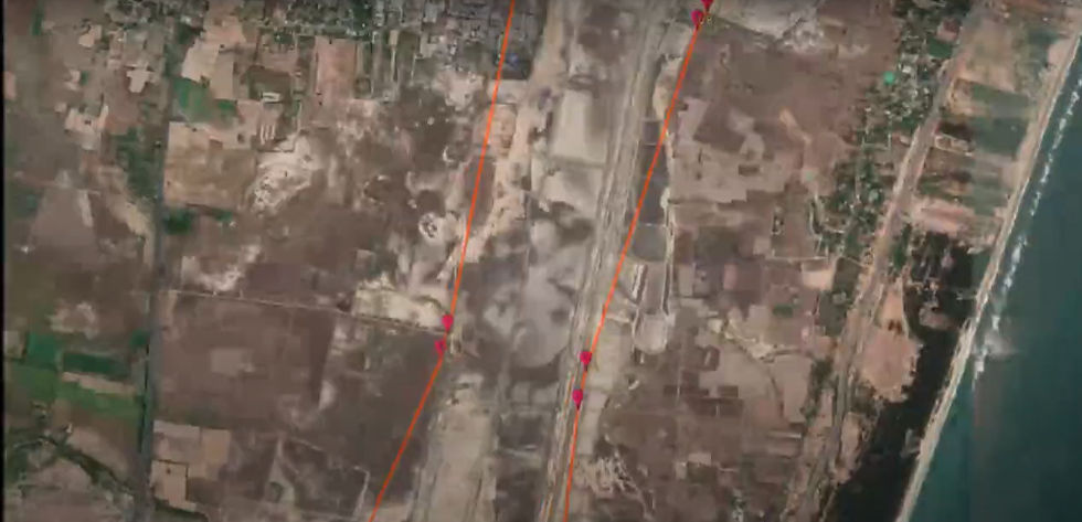
Control Points: Markers that are permanently erected on the ground, such as survey markers, monuments, or benchmarks.
Coordinates: Every point has exact locations in the horizontal (X, Y) and occasionally vertical (Z) planes.
Hierarchy: Primary (high accuracy), secondary, and tertiary control points are the three levels into which networks are frequently arranged.
The goal is to guarantee precision and uniformity in all spatial measurements and mapping within the area.
Related Keywords
Using surveying techniques, survey control points are fixed reference sites on the ground with exact coordinates and elevations. By offering a standard reference system for all ensuing surveys, they act as benchmarks for engineering, construction, and mapping projects, guaranteeing precision and uniformity in measurements.
For precision mapping, surveying, and navigation, a geodetic control network is a set of precisely measured reference locations on Earth. It offers a standardized coordinate system for combining spatial data across wide regions.
A network of carefully measured reference points set up on the ground to supply precise locations and elevations for engineering, construction, and mapping tasks is known as a surveying control system. Reliable measurements, alignment, and layout of structures over wide regions are made possible by these control points, which act as a foundation to guarantee correctness and consistency in all ensuing surveys.
A system of precisely placed locations created with GPS that act as reference markers for precision surveying, mapping, and building measurements is known as a GPS Survey Control Network.