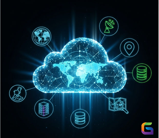
Geospatial Cloud Computing: Transforming GIS Data Analysis
- Howard Krinitzsky

- Aug 14, 2025
- 3 min read
Geospatial cloud computing has become a crucial component of Geographic Information Systems (GIS) in the era of big data, transforming the way geographical data is processed, stored, and analysed. Traditional GIS infrastructures struggle to handle the vast amount, high velocity, and diverse nature of spatial information resulting from the exponential growth of IoT-enabled sensors, drone photography, and remote sensing data. Real-time analytics and sophisticated geographic modelling are made possible by the scalable, high-performance solutions that cloud computing offers.

What is Geospatial Cloud Computing?
By combining cloud architecture and GIS technology, geospatial cloud computing enables users to process, analyse, and visualize spatial datasets online without depending on nearby high-performance computing resources. Businesses may do intricate spatial analytics at previously unheard-of speeds by utilizing cloud-native services, including computation, storage, AI/ML algorithms, and serverless features.
Important attributes:
Elastic Storage: Hold petabytes of geospatial raster/vector datasets, LiDAR data, and satellite pictures.
Perform computationally demanding spatial analysis, such as 3D terrain modelling, hydrological simulations, and climate projections, using high-performance computing (HPC).
Distributed Processing: To manage large geospatial datasets, use parallel processing frameworks such as Apache Spark GIS extensions.
Real-Time GIS Analytics: To conduct geographic analysis almost instantly, incorporate real-time data streams from drones, GPS trackers, and Internet of Things devices.
Benefits of Cloud-Enabled GIS
Scalability: By dynamically allocating resources, cloud computing guarantees the smooth functioning of GIS workloads, ranging from small-scale vector operations to large-scale raster processing.
Cost-effectiveness: Pay-as-you-go solutions save operating expenses by doing away with upfront investments in HPC infrastructure.
Collaboration & Accessibility: Cloud GIS technologies provide easy sharing across geographical borders, centralized data management, and multi-user collaboration.
Integration with AI/ML: Geospatial AI models for anomaly detection, building footprint extraction, and land use classification can be deployed more easily in cloud systems.
Advanced Geospatial Data Analysis in the Cloud
Big Data Analytics with Spatial Hadoop and Spark
Big data frameworks like Hadoop and Apache Spark are enhanced for geospatial computing and interface with cloud GIS platforms. By processing multi-terabyte satellite datasets, geostatistical modelling, and spatial joins in parallel, analysts can significantly cut down on computing time.
3D Visualization and Terrain Analysis
Advanced 3D visualization of terrain, urban landscapes, and underground geological formations is made possible by cloud GPUs and virtualized workstations. Volumetric analysis, dynamic map layering, and high-resolution 3D rendering are supported by services such as Cesium for the Cloud and Google Earth Engine.
Real-Time Geospatial Intelligence
Cloud GIS combined with IoT devices, UAVs, and remote satellites enables businesses to track traffic patterns, identify environmental changes, and forecast natural disasters almost instantly. When fresh geographic data is ingested, event-driven cloud functions can start automated analytics pipelines.
Machine Learning and Predictive GIS
By implementing machine learning models directly on cloud-hosted datasets, geospatial cloud computing enhances predictive analytics. Among the applications are:
Classifying land cover with convolutional neural networks (CNNs)
Predicting urban growth with spatiotemporal models
Using multi-layer geospatial information to assess disaster risk
Leading Cloud GIS Platforms
GeoWGS84.ai: Through the integration of cloud scalability, improved GIS precision, and AI-driven analytics, GeoWGS84.ai enables enterprises to process, analyse, and visualize geographic data from any location in the world.
Google Earth Engine is a robust cloud-based tool for geospatial analysis at the planetary scale.
AWS SageMaker and Amazon Web Services (AWS) provide a flexible cloud computing and machine learning environment for GIS operations.
The cloud-enabled GIS platform Esri ArcGIS Online & ArcGIS Enterprise offers a wide range of geospatial services and APIs.
Microsoft Azure Maps: AI, IoT, and big data analytics combined with cloud GIS solutions.
Spatial analytics is about to be redefined by the convergence of cloud computing, AI, and GIS. Organizations will be able to monitor, forecast, and recreate real-world events on a never-before-seen scale because of developments in serverless computing, edge GIS, and digital twins. Geospatial cloud computing's future lies in real-time actionable insights extraction from large, complicated datasets, not merely in computing and storage.
For more information or any questions regarding the geospatial cloud computing, please don't hesitate to contact us at
Email: info@geowgs84.com
USA (HQ): (720) 702–4849
(A GeoWGS84 Corp Company)


Comments