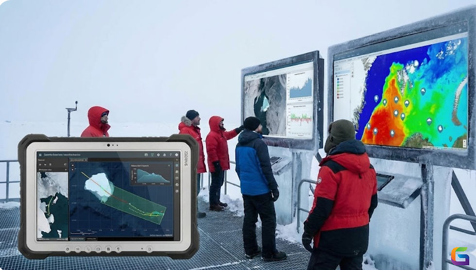
Mining Tracking Solutions for Smarter Operations
- Anvita Shrivastava

- Aug 26, 2025
- 3 min read
There is a growing demand in the mining sector to maintain environmental compliance while streamlining operations, cutting expenses, and improving safety. With their ability to provide real-time geographic information for monitoring assets, resources, and workflows, Geographic Information Systems (GIS) have become a key component of mining tracking solutions. GIS makes mining operations more intelligent and effective by combining remote sensing, GNSS (Global Navigation Satellite Systems), IoT sensors, UAVs, and sophisticated spatial analytics.

The Role of GIS in Mining Tracking
From discovery to production, transportation, and reclamation, mining entails extensive, intricate, and ever-changing operations. The limitations of traditional tracking approaches include delayed data collection and human reporting. GIS revolutionizes mining activities by offering:
Real-Time Asset Tracking: Use GNSS-enabled devices built into GIS platforms to keep an eye on conveyor systems, haul trucks, and mining equipment.
Integrate LiDAR, UAV photogrammetry, ground surveys, and remote sensing imagery into a single geographic database.
Predictive analytics: To maximize extraction and reduce operational downtime, model the locations of ore bodies, blasting patterns, and haul routes.
Compliance Mapping: Monitor water bodies, vegetation, and land usage to make sure that legal and environmental standards are being followed.
Key Applications of GIS-Based Mining Tracking Solutions
Fleet and Equipment Tracking
GIS-powered dashboards track drills, haul trucks, and excavators in real time by combining GNSS positioning systems with IoT-enabled sensors. This guarantees:
Decreased fuel use and idle time.
Improved traffic flow and haul road design.
Proactive scheduling of maintenance based on consumption statistics.
Ore and Material Tracking
Businesses can track the movement of materials from pit to plant by integrating RFID tags, conveyor monitoring, and GIS databases. This improves supply chain visibility, avoids bottlenecks, and reduces ore dilution.
Automated stockpile volume estimations are made possible by GIS integration of LiDAR and high-resolution UAV data. Accurate financial reporting, reconciliation, and inventory management are all enhanced by this.
Safety and Risk Management
Slope stability analysis, geotechnical monitoring, and personnel tracking underground via RFID or Bluetooth Low Energy (BLE) beacons are all supported by GIS. This guarantees quicker emergency response and safer working conditions.
Environmental and Compliance Tracking
Spatial data on air quality, dust dispersion, water contamination, and land rehabilitation can be superimposed by mining corporations. This promotes sustainable mining methods and guarantees adherence to environmental laws.
Technologies Powering GIS Mining Tracking Solutions
For precise positioning, use GNSS (GPS + GLONASS + Galileo + BeiDou).
UAVs and remote sensing for 3D terrain models and high-resolution photos.
For accurate topography mapping, use LiDAR (Light Detection and Ranging).
IoT sensors for predictive maintenance, fuel monitoring, and equipment telemetry.
AI and machine learning for anomaly identification and predictive ore modelling.
Cloud-based GIS enabling real-time viewing, data sharing, and multiple user access.
Benefits of GIS-Based Mining Tracking Solutions
Operational Efficiency: Real-time decision-making, optimum transportation, and decreased downtime.
Cost Reduction: Reduce inventory losses, maintenance expenses, and fuel use.
Real-time personnel tracking and hazard prediction lead to increased safety.
Improved forecasting through the integration of spatial analytics is known as data-driven insights.
Sustainability: Improved compliance and environmental effect monitoring.
Future of Mining Tracking
Autonomous fleets, AI-powered decision assistance, and GIS-powered digital twins will all be essential to mining in the future. Mining firms may operate more intelligently, safely, and sustainably by combining big data analytics, IoT, and geospatial information.
By facilitating real-time monitoring, data integration, predictive analytics, and compliance management, GIS-based mining tracking technologies are revolutionizing the sector. Businesses that use GIS-driven mining workflows will see long-term sustainability, reduced operational risks, and increased production.
For more information or any questions regarding the mining tracking, please don't hesitate to contact us at
Email: info@geowgs84.com
USA (HQ): (720) 702–4849
(A GeoWGS84 Corp Company)


Comments