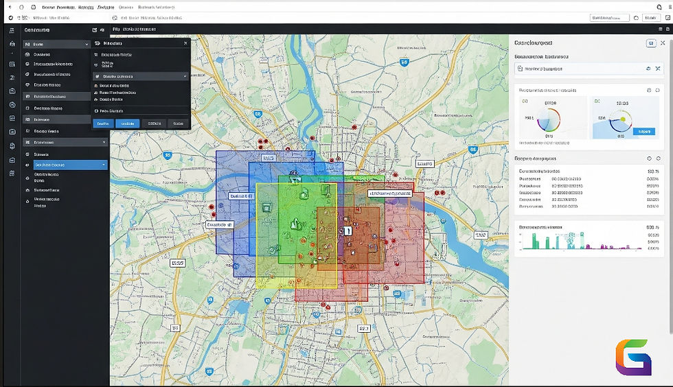
Top 10 Geospatial Analysis Software in 2025
- Jun 26, 2025
- 3 min read
Updated: Aug 12, 2025
As the geospatial ecosystem evolves with increasing data volumes and the integration of artificial intelligence, selecting the right geospatial analysis software is becoming crucial. By 2025, leading platforms will feature advanced capabilities in remote sensing, spatial database management, GeoAI, and scalable geoprocessing. This article highlights the top 10 geospatial analysis software tools used by professionals in urban planning, environmental monitoring, defence, and autonomous systems.

ENVI (L3Harris Geospatial)
Best for: Remote sensing, spectral analysis, thermal inspection
Platform: Windows/Linux Desktop
Key Features:
Advanced support for multispectral/hyperspectral sensors
Automated feature extraction (Fx)
Atmospheric correction (FLAASH, QUAC)
Deep learning module for object classification
Strength: Precise calibration tools and integration with UAV, LiDAR, and SAR data
Limitations: Primarily image-focused; less suitable for vector GIS tasks
ArcGIS Pro (Esri)
Best for: Enterprise GIS, 3D Mapping, Spatial Modelling
Platform: Windows Desktop + ArcGIS Online
Key Features:
Model Builder for visual workflows
Spatial Analyst and Network Analyst extensions
Integrated 3D GIS (Scene Layers, LiDAR, multipatch)
Python (ArcPy) and R integration
Strength: Seamless transition between local, enterprise, and cloud GIS environments
Limitations: Licensing complexity; heavy system requirements
QGIS (Quantum GIS)
Best for: Open-source GIS workflows, plugin development, cartography
Platform: Cross-platform Desktop (Windows, MacOS, Linux)
Key Features:
GDAL/OGR backend with wide format support
PyQGIS scripting engine
Processing Toolbox for algorithm chaining
Real-time GPS and sensor integration
Strength: Extensibility with plugins and GRASS/SAGA integration
Limitations: Limited out-of-the-box support for large raster datasets or cloud-native formats
Best for: GeoAI, change detection, real-time satellite data analytics
Platform: Cloud-native SaaS
Key Features:
AI-powered geospatial object detection (YOLOv8, SAM)
H3-based spatial indexing and vector tiling
APIs for automated monitoring, anomaly detection, and analytics
Built-in support for Sentinel, Landsat, and commercial constellations
Strength: Low-code, scalable spatial ML workflows for non-developers
Limitations: Primarily cloud-based; depends on API integrations for full functionality
Google Earth Engine (GEE)
Best for: Time-series analysis, planetary-scale environmental monitoring
Platform: Cloud
Key Features:
Server-side JavaScript and Python APIs
Petabyte-scale access to public satellite archives
Built-in reducers, classifiers, and machine learning libraries
Batch export to Google Cloud Storage
Strength: Excellent for rapid prototyping and environmental research
Limitations: Not suitable for local vector data editing or custom UI visualization
ERDAS IMAGINE (Hexagon Geospatial)
Best for: Remote sensing, photogrammetry, terrain analysis
Platform: Windows Desktop
Key Features:
Object-based image analysis (OBIA)
Orthorectification and DEM generation tools
Radar (SAR, InSAR) and LiDAR analytics
Spatial Modeler for no-code workflows
Strength: Strong in precision agriculture, defence, and forestry applications
Limitations: Complex UI; steep learning curve for new users
PostGIS (PostgreSQL Extension)
Best for: Spatial SQL, spatial data infrastructure, real-time location analytics
Platform: Backend / Cloud / On-prem
Key Features:
Support for vector and raster data types
Advanced spatial indexing (R-tree over GiST)
Tiling, clipping, spatial joins, and buffers via SQL
Time-enabled queries and trajectory analysis
Strength: Highly scalable and scriptable for backend geospatial pipelines
Limitations: Requires DBA and SQL expertise for effective use
Mapbox Studio
Best for: Interactive mapping, web visualization, location-based apps
Platform: Web + API
Key Features:
GL JS and WebGL-powered rendering
Custom vector tile generation
Real-time traffic, weather, and sensor layers
Integrations with React, Unity, and Android/iOS SDKs
Strength: High-performance rendering engine for consumer and industrial apps
Limitations: Not designed for heavy geoprocessing or spatial analysis
GeoDa
Best for: Spatial econometrics, exploratory spatial data analysis (ESDA)
Platform: Desktop (Windows, Mac, Linux)
Key Features:
Local Indicators of Spatial Association (LISA)
Spatial lag and spatial error regression models
Cluster detection and spatial autocorrelation diagnostics
CSV/GeoJSON/Shapefile support
Strength: Lightweight tool for statistical spatial inference
Limitations: Limited GIS and cartographic customization options
Databricks + Mosaic (Spatial Extension)
Best for: Scalable geospatial machine learning, big raster/vector data
Platform: Cloud (Azure, AWS, GCP)
Key Features:
H3 indexing and spatial joins on Spark clusters.
Delta Lake for spatial-temporal data versioning
Support for MLlib and PyTorch/TensorFlow
Raster-to-vector pipelines with Mosaic API
Strength: Geospatial processing at massive scale with Data Lakehouse integration
Limitations: Requires a data engineering skillset and cloud infrastructure setup
The integration of cloud computing, artificial intelligence, remote sensing, and spatial databases is reflected in the geospatial analytic tool landscape of 2025. With the advent of AI-native platforms like geowgs84.ai and more recent heavyweights like ArcGIS and ENVI, professionals can now handle and analyse spatial data with a level of flexibility never before possible.
When selecting a platform, take into account elements like:
Data kind (static versus real-time, raster versus vector)
Scalability (distributed cloud versus desktop)
requirements for integration (APIs, plugins, sensor data)
Use case expertise (GeoAI, environmental monitoring, urban planning, and imaging analysis)
For more information or any questions regarding the geospatial analysis, please don't hesitate to contact us at
Email: info@geowgs84.com
USA (HQ): (720) 702–4849
(A GeoWGS84 Corp Company)


Comments