What are Pretrained Weights in GeoAI?
- May 28, 2025
- 2 min read
GeoAI, or Geospatial Artificial Intelligence, is transforming the analysis of spatial data by combining geospatial science with machine learning and deep learning. A key concept in this field is pretrained weights. But what are pretrained weights in GeoAI, and why are they important?
Understanding Pretrained Weights
A model is a mathematical function used in deep learning and machine learning that extracts patterns from data. The model's prediction-making parameters, known as weights, are modified during this learning process. The values of these parameters that have already been discovered through training the model on a sizable dataset, typically for a similar task, are referred to as pretrained weights.
The Significance of Pretrained Weights in GeoAI
Large, intricate spatial datasets like satellite imagery, digital elevation models, or remote sensing data are frequently used by geoAI models. It can be computationally costly, time-consuming, and require a large amount of labelled data to train deep learning models from scratch on these datasets.
By using pretrained weights, researchers and developers can:
Save Time & Resources: Pretrained models have already learned basic features like edges, textures, shapes, and patterns.
Improve Accuracy: Pretraining on general imagery or spatial data allows the model to generalize better, especially when fine-tuned on specific geospatial tasks.
Reduce Data Dependency: In geospatial contexts, annotated data is scarce. Pretrained models can perform well even with limited labelled samples.
Common GeoAI Use Cases
Land Cover Classification: Urban, forest, agricultural, and water body classification can be achieved by fine-tuning models pretrained on global satellite imaging datasets such as BigEarthNet or Sentinel-2.
Object Detection: To identify buildings, roads, or automobiles in aerial photos, models like as YOLO, Faster R-CNN, or Mask R-CNN can be modified with pretrained weights.
Change Detection: Pretrained convolutional neural networks (CNNs) can be used to detect changes in vegetation, infrastructure, or topography using temporal satellite data.
Semantic Segmentation: When initialised with pretrained weights, networks like U-Net or DeepLabv3+ perform better in the pixel-by-pixel classification of satellite imagery.
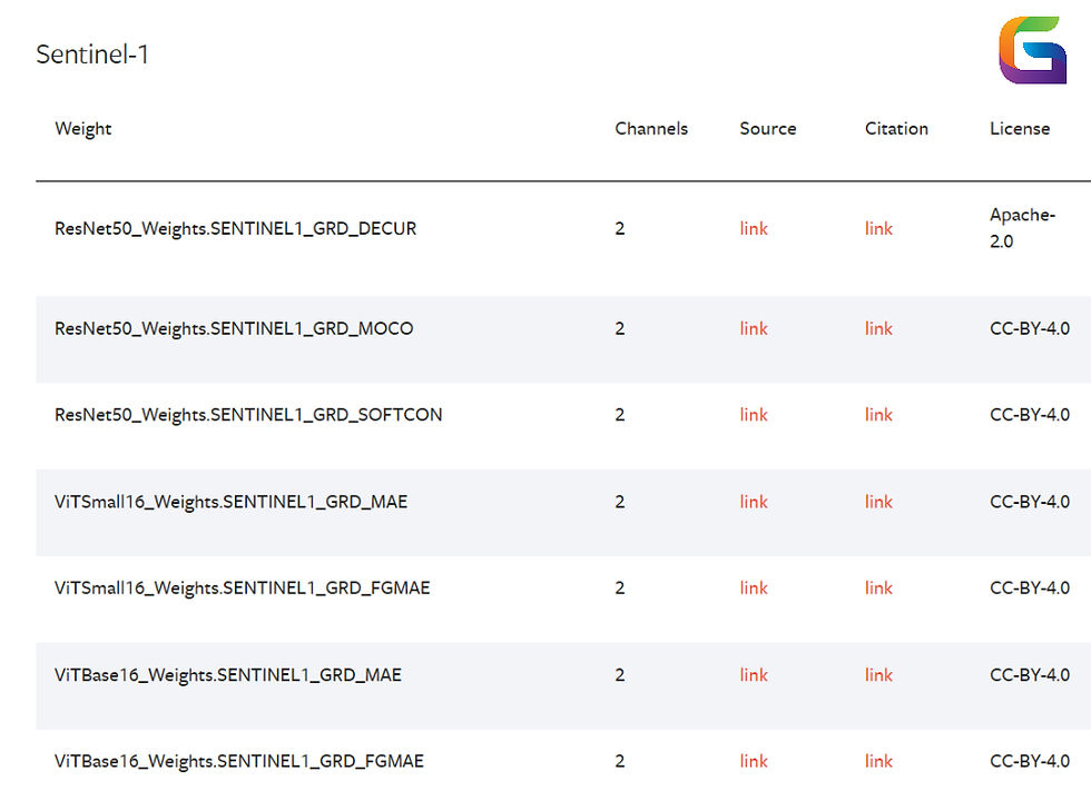
Sources of GeoAI Pretrained Weights
Pretrained models designed for geospatial applications are available on several platforms and datasets:
TorchGeo provides pretrained, weighted geospatial machine learning models.
GeoTorch is a collection of remote sensing PyTorch models.
The datasets offered by EarthNet, BigEarthNet, SpaceNet, and xView are frequently used to train base models.
Usually, tasks like object recognition, atmospheric condition analysis, and land use classification are used to train these pretrained models.
In GeoAI, pretrained weights are a potent enabler that speed up model building, enhance performance, and lessen reliance on sizable labelled datasets. Unlocking the full potential of geospatial data will depend more and more on having access to a variety of excellent pretrained models as the field develops.
For more information or any questions regarding Pretrained Weights in GeoAI, please don't hesitate to contact us at
Email: info@geowgs84.com
USA (HQ): (720) 702–4849
(A GeoWGS84 Corp Company)


Comments