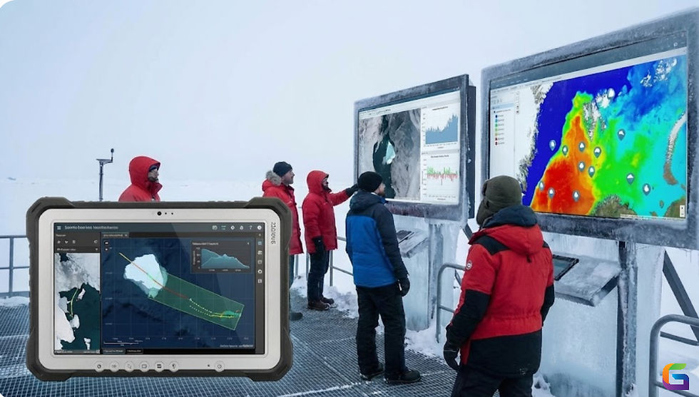
How AI-Powered GIS Analysis is Revolutionizing Coral Reef Mapping
- GeoWGS84

- Jun 18, 2025
- 3 min read
Coral reefs, often called the rainforests of the sea, are among the most biodiverse ecosystems on the planet. However, these fragile environments face continuous threats from climate change, ocean acidification, overfishing, and coastal development. To monitor, manage, and protect these underwater ecosystems, scientists and conservationists are increasingly using AI-powered Geographic Information Systems (GIS) for automated, scalable, and high-resolution mapping of coral reefs.

The Challenges of Traditional Coral Reef Mapping
In the past, aerial picture interpretation, diver-based visual evaluations, and manual surveys have all been used in coral reef mapping. Although these techniques work well on a small scale, they are:
Time-consuming
Work-intensive
Geographically restricted
Affected by human prejudice
Since coral reefs cover more than 284,000 square kilometres worldwide, manual monitoring techniques are impractical for frequent or timely large-scale observation.
The Role of Remote Sensing in Coral Mapping
Drone-based photogrammetry, underwater ROV footage, and multispectral and hyperspectral satellite imagery are all used in contemporary mapping projects. These sources offer rich spatial data, but in order to extract useful information, sophisticated processing pipelines are needed; here is where integrating AI and GIS becomes crucial.
How AI Enhances Coral Reef Mapping in GIS Workflows
1. Habitat Classification Using Semantic Segmentation
Labelled satellite/drone imagery is used to train deep learning models like U-Net, DeepLabV3+, and Mask R-CNN to conduct pixel-wise classification of reef features:
Hard corals
Seagrass
Spots of sand
Zones of rubble
Cover of algae
To create intricate habitat maps at scale, these models are used in GIS environments (such as ArcGIS, QGIS, and Google Earth Engine).
2. Image Analysis Based on Objects (OBIA)
Reef zones are defined by combining spectral, spatial, and contextual information using AI-enhanced OBIA with machine learning:
Employs gradient boosting methods, SVMs, and random forests.
Automatically extracts features from satellite data with great resolution.
Makes patch-based classification across vast oceanic areas easier.
3. Temporal Analysis and Change Detection
AI systems use time-series satellite data to identify changes in reef health over time:
Detects algal blooms, sedimentation, or coral bleaching.
Automatically detects changes by integrating with SNAP or Google Earth Engine.
Employs temporal CNNs or Long Short-Term Memory (LSTM) networks for dynamic prediction.
4. 3D Reef Structure Modelling
Drone or underwater imagery is used to create 3D coral models using Structure from Motion (SfM) techniques and artificial intelligence (AI):
AI automates 3D reconstruction, depth estimation, and keypoint detection.
For the examination of habitat complexity, GIS platforms produce reef rugosity indices and bathymetric maps.
Integrating AI Models in GIS Pipelines
RasterIO + GDAL + TensorFlow/PyTorch for integrating custom models
End-to-end support for training and inference models is provided by Esri's ArcGIS Deep Learning tools.
Google Earth Engine (GEE) facilitates AI pipelines based on Python and JavaScript and contains publicly available geographical datasets.
Spatial querying and large-scale reef database maintenance are made easier by PostGIS and GeoAI frameworks.
Future Directions
AI-GIS coral reef mapping is expected to evolve with:
Transfer learning across reef types.
Fusion of acoustic, LiDAR, and multispectral datasets
Edge AI for real-time underwater image analysis
Citizen science integrations using AI apps for diver-submitted reef photos
A paradigm shift in coral reef mapping is being brought about by AI-powered GIS analysis, which provides a scalable, reliable, and incredibly accurate substitute for conventional techniques. These technologies will play a crucial role in monitoring reef health, directing conservation efforts, and providing previously unheard-of precision in marine spatial planning as ocean ecosystems confront increasing threats.
For more information or any questions regarding coral reef mapping, please don't hesitate to contact us at
Email: info@geowgs84.com
USA (HQ): (720) 702–4849
(A GeoWGS84 Corp Company)


Comments